DTU Space is leading the new EU-project LOTUS. LOTUS will develop new methods for using satellite data to monitor ocean and land.
DTU Space with Per Knudsen as coordinator is leading a new project called LOTUS (Preparing Land and Ocean Take Up from Sentinel-3).
The objective of the new EU FP7 LOTUS project is to support the development of Copernicus (the former GMES) by developing applications of Sentinel-3 to complete the space observation infrastructure that are designed for land and ocean monitoring for Copernicus.
Sentinel-3 is the Copernicus satellite for monitoring the oceans. The radar altimeter onboard Sentinel-3 will provide along-track high-resolution heights of the sea surface in the open oceans, in the coastal seas, in-land water and sea ice areas. This capability is a new feature. Hence, new methodologies and new data processing chains need to be developed to prepare the take-up of the Sentinel-3 data.
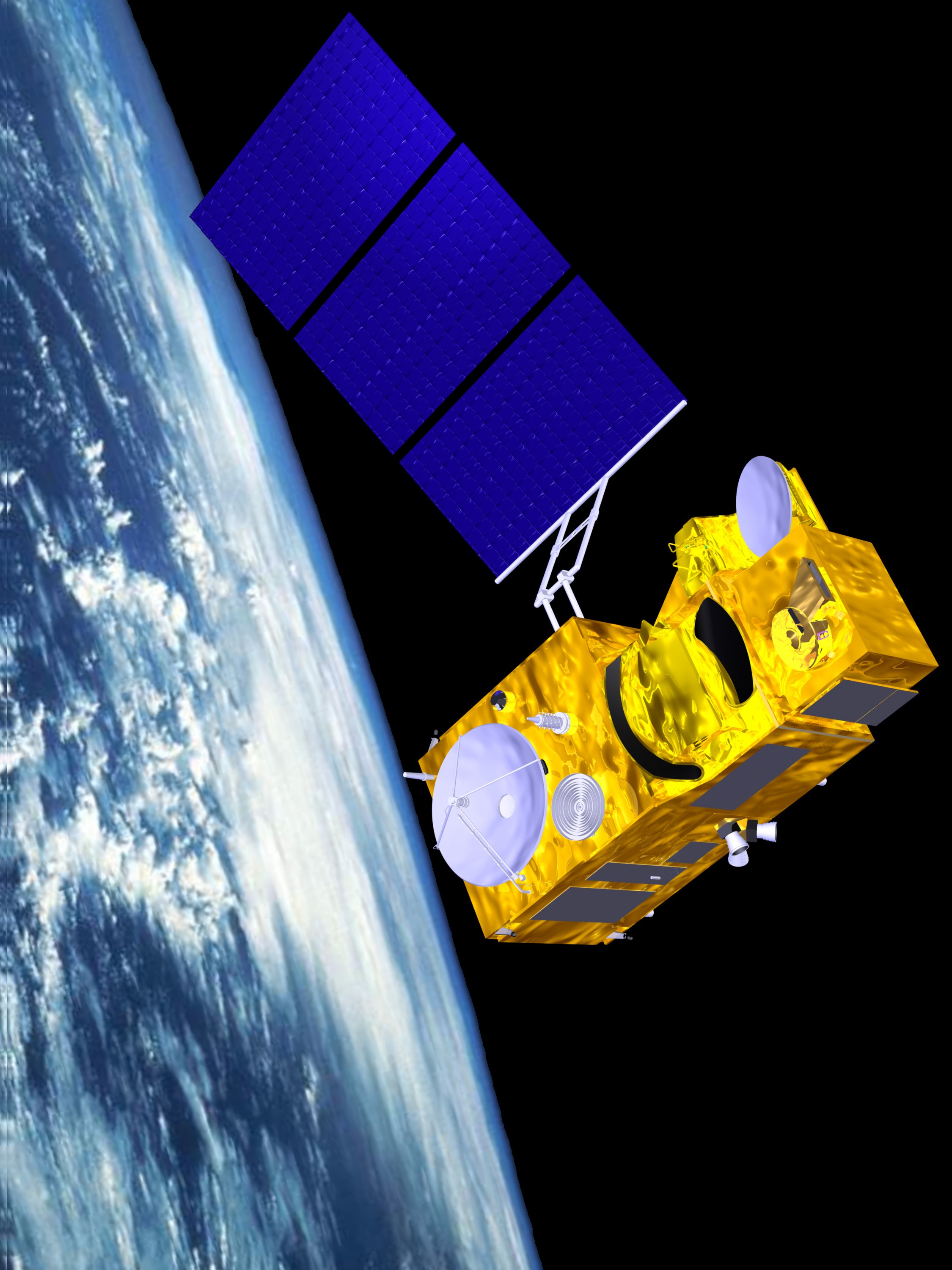
Artist impression of Sentinel-3. Credit: ESA
The LOTUS project will develop new methodologies, data processing chains, and applications of the Sentinel-3 data for the high resolution sea surface heights, wave heights and wind speeds in the open oceans, coastal seas as well as in sea ice covered regions for operational marine services.
For the operational land services, the LOTUS project will develop new methodologies, data processing chains, and applications of the Sentinel-3 data for the in-land water levels in rivers and lakes, soil moisture, and snow water equivalents.
In turn, the new products will support operational services for emergency response and security in the events of, e.g., storm surges and flooding. The new land products will provide valuable information about the hydrological cycle and support services on monitoring hydrological parameters for climate change.
LOTUS is a European project with participation from France, Spain, the UK and Denmark. Two institutions from Denmark participate: DHI in Hørsholm and DTU where both DTU Environment and DTU Space contribute. LOTUS is supported through EU FP7.
More info
Head of Geodesy Per Knudsen, pk@pspace.dtu.dk